
Vuillemin, Alexandre
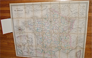
Nouvelle Carte de La France et de Ses Colonies indiquant les Voies de Communication, Route Nationales, Departmentales, Chemin de Fer, Canaux, les Villes industrielles, Etc.
back
|
Seller ID: 1502 Paris: A. Logerot, 1874. Large folding colour map (110 cm x 89 cm) mounted in sections on linen and bound in hardcover folder as a book (23 cm x 13 cm), red cloth with gilt decoration and titles. Spine skilfully repaired in black cloth as original. Covers worn along edges. Map shows details of geography, settlement, and infrastructure of France; inset are maps of Paris and assorted 'possessions' including Algeria, Corsica, Cochinchine, St. Pierre and Miquelon. Clean, bright, and sound. Price: $340.00 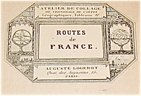 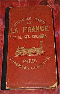
For more information or to place your order, you can email us at info@trilliumbooks.ca, telephone us at 705-749-0461, |