
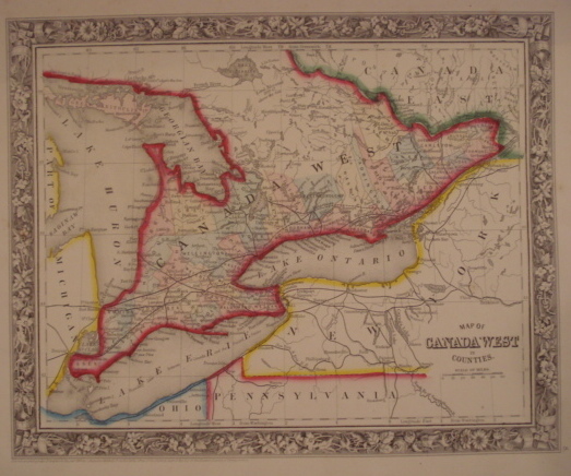
Mitchell, S. A.
Map. Canada West in Counties.
back
|
Seller ID: 1291 [Philadelphia], 1860. Sheet (34cm x 39cm), image (27cm x 33cm). Delicately hand-coloured engraved map with decorative borders. Pre-Confederation Ontario, showing Manitoulin Island to the Quebec boundary, lakes Huron, Eire, and Ontario, western and north central New York. A colourful, bright image from the time when Canada was about to be assembled and the United States was nearly taken apart. Simply mounted on white, acid-free mat. Price: $120.00
For more information or to place your order, you can email us at info@trilliumbooks.ca, telephone us at 705-749-0461, |